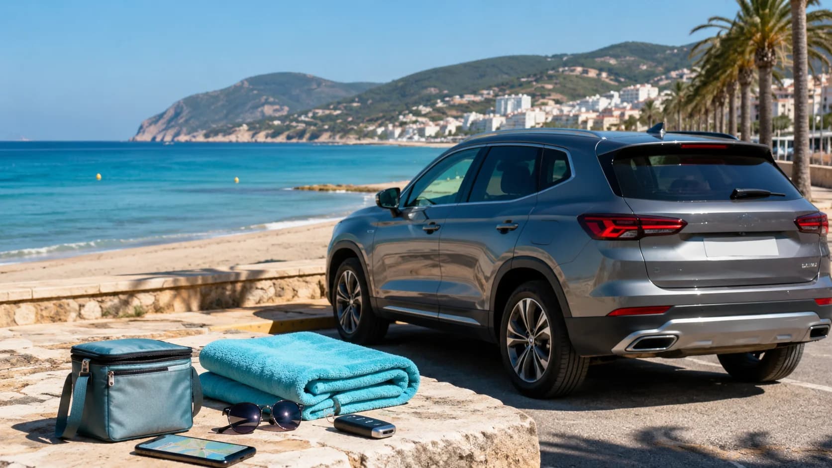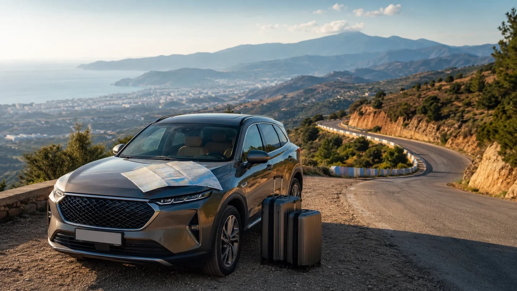









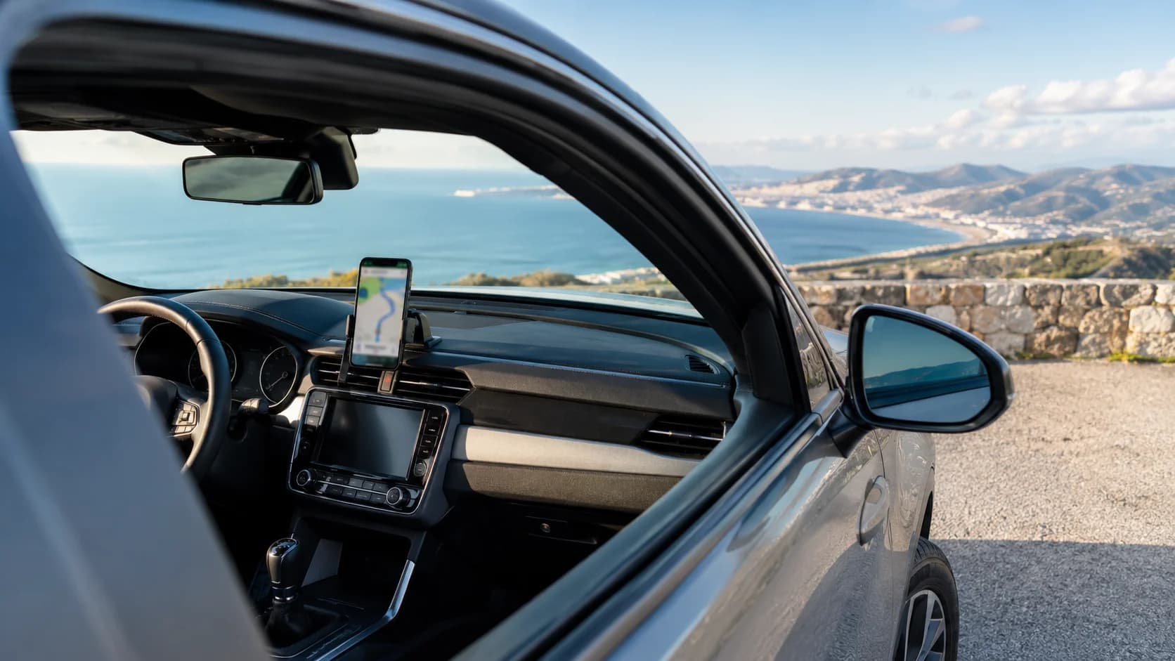
Google Maps works well for most driving around Tangier, including airport pickups, ferry port routes, coastal roads and day trips toward Tetouan or Chefchaouen. The smart move is to download your offline maps before you leave Wi-Fi, buy a local SIM or eSIM if you need live traffic, and save medina-edge parking points before you start driving. For the old medina, do not try to follow your GPS deep into the narrow streets. Park near the edge and continue on foot.
Does Google Maps Work in Tangier?
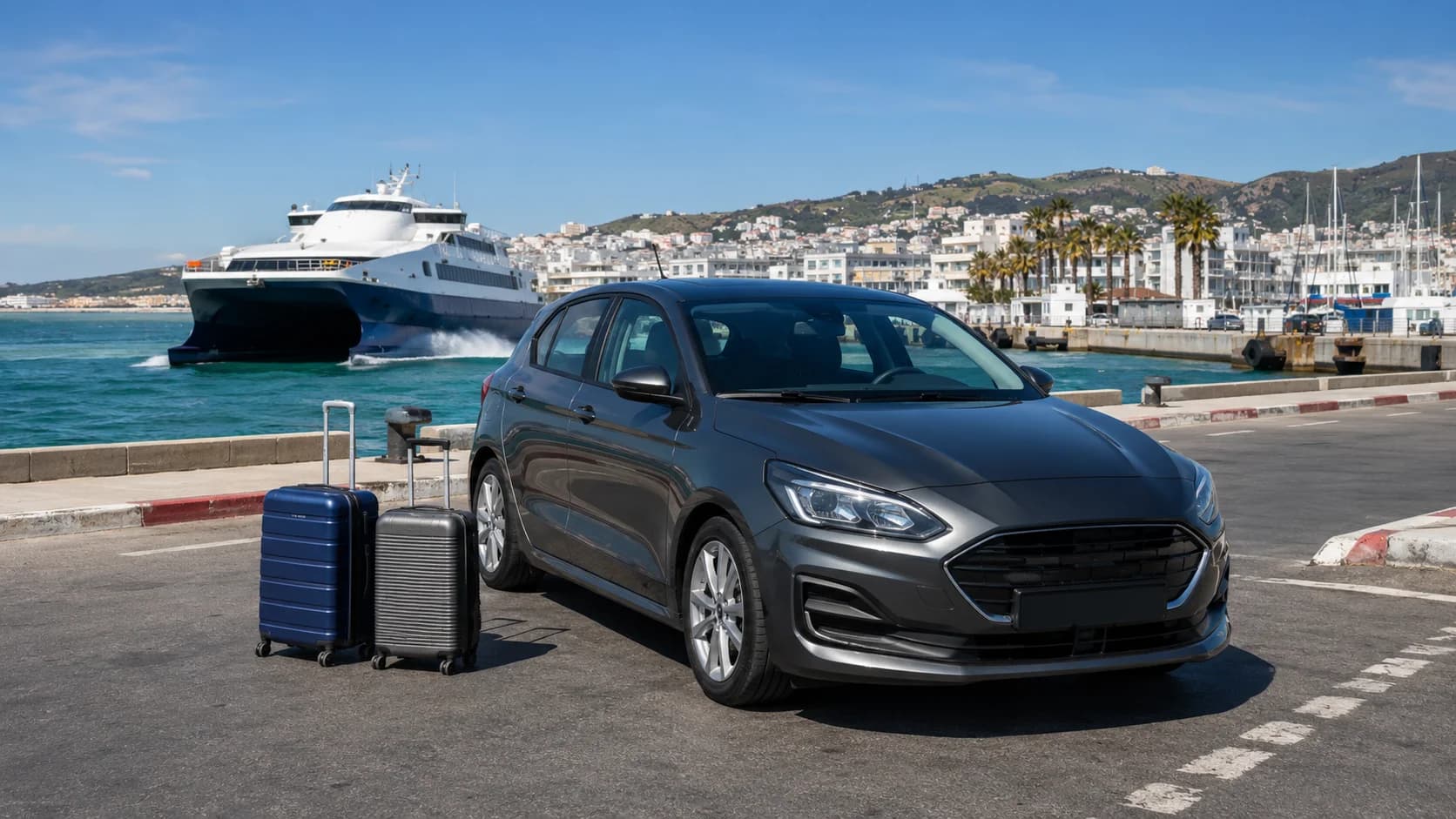
Yes, Google Maps works in Tangier and is usually reliable for normal driving routes. It can guide you from Tangier Ibn Battouta Airport, the ferry port, Malabata, the Corniche, the city centre and most main roads toward Tetouan, Asilah, Chefchaouen and Tanger Med.
For many visitors, GPS driving Tangier feels easier than expected because the main roads are clear and many destinations are searchable in English or French. The main problem is not the app itself. The problem is knowing when not to follow it too literally.
Tangier has a dense old medina, busy one-way streets and areas where cars cannot enter comfortably. A navigation app may show a road that looks close to your riad or restaurant, but the final few metres can be narrow, crowded or unsuitable for rental cars. For medina visits, use your phone to reach a parking area, not the exact door of a place inside the old city.
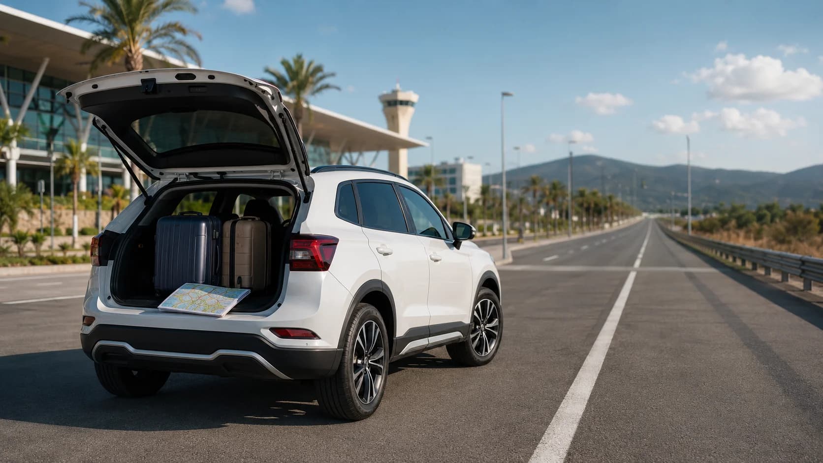
For airport or ferry arrivals, it is also useful to save your pickup location, hotel and first parking stop before you start driving. If you are renting a car for the north of Morocco, start with a reliable vehicle from car rental Tangier airport and ferry pickup, then plan your first route while you still have a stable connection.
Downloading Offline Maps First
Offline maps Morocco planning is important because mobile signal can change between urban roads, mountain bends and rural coastal sections. Google’s official help explains that users can download selected map areas in advance and use them for navigation offline, but downloaded maps need updating before they expire.
Before you arrive in Tangier, download at least these areas:
-
Tangier city and Tangier Ibn Battouta Airport
-
Tangier to Tetouan
-
Tangier to Chefchaouen
-
Tangier to Asilah and Larache
-
Tangier to Tanger Med if you are using the ferry port
The best time to download offline maps is at home, at your hotel, or on airport Wi-Fi before collecting the car. Open Google Maps, tap your profile icon, choose offline maps, select your own map area, then download the region you need.
For Google Maps Tangier offline use, remember that offline mode is best for basic driving directions. It may not always show live traffic, fresh road closures, business opening times or the latest route changes. That is why offline maps are the backup layer, not the only tool.
SIM Cards and Data for Road Trips
A local SIM card or eSIM is worth it if you plan to drive outside Tangier. Live data helps with traffic, rerouting, WhatsApp support, fuel stations, restaurants and parking searches. Morocco has several large mobile operators, and 5G services have now launched in the country, according to ANRT.
That said, you do not need 5G for navigation. A stable 4G connection is enough for Google Maps, WhatsApp, hotel messages and route searches. The main value of mobile data is flexibility. If you miss a turn, find a blocked street, or decide to continue from Tangier to Cap Spartel, you can update your route instantly.
For visitors, the practical options are:
-
Use roaming from your home provider if the price is reasonable
-
Buy a local SIM at the airport or in the city
-
Use an eSIM if your phone supports it
-
Download offline maps even if you have mobile data
Coverage is generally good around Tangier, Tetouan and the main northern roads, but it can become weaker in mountain sections, valleys and remote beaches. Opensignal’s Morocco mobile network reports show differences between operators and network experience, which is another reason not to depend on live data alone.
Built-In GPS vs Your Phone
Some rental cars offer built-in GPS, but most travellers will find their phone easier. Your phone already has saved places, hotel confirmations, WhatsApp locations and updated app data. It is also faster to search in different languages.
Built-in GPS can still be useful if:
-
Your phone battery is low
-
You lose mobile signal
-
The car supports Apple CarPlay or Android Auto
-
You prefer a larger screen
-
You are driving longer distances
For city driving, a phone with offline Google Maps is usually the best maps app Morocco option for most visitors. For long road trips, it is smart to combine Google Maps with a second app, such as Apple Maps, Waze or Maps.me, depending on what you already use.
A sedan is usually enough for Tangier city, airport transfers, Asilah, Tetouan and normal paved roads. If your route includes mountain viewpoints, rural guesthouses or rougher access roads, compare options on sedan rental Tangier and SUV rental Tangier before booking.
Navigating to Medina-Edge Parking
The old medina is one of the best parts of Tangier, but it is not a place to blindly follow GPS into narrow lanes. Search for parking near the medina edge instead of searching only for your hotel, restaurant or shop.
Good navigation habits include:
-
Save a parking area near the medina before departure
-
Check the last 500 metres on the map before driving
-
Avoid small lanes that look too narrow for two-way movement
-
Park early and walk if the route becomes crowded
-
Ask your hotel or riad for the best car-accessible drop-off point
This matters because Tangier streets can change quickly from wide urban roads to tight local lanes. A route that looks simple on a map can feel stressful when scooters, pedestrians, delivery vans and parked cars all share the same space.
For a relaxed visit, set your GPS to a parking point near the edge, then use walking navigation inside the medina. Keep a screenshot of your parking location so you can find the car again even if the signal drops.
Finding Mountain and Coastal Routes
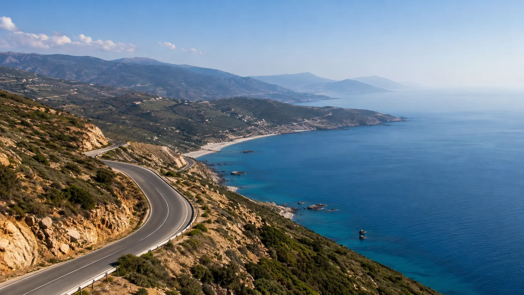
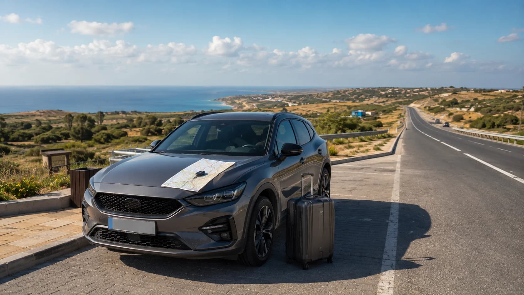
Navigation northern Morocco is not only about city driving. From Tangier, many travellers continue to Cap Spartel, Hercules Caves, Asilah, Tetouan, Chefchaouen or the Rif mountain roads. Google Maps is helpful, but route choice matters.
For coastal drives, check the estimated time before leaving, then add extra time for viewpoints, traffic near beaches and photo stops. For mountain drives, avoid starting too late in the day, especially if you are not used to winding roads.
Before a mountain or coastal route, review:
-
Total distance and drive time
-
Fuel stops
-
Road type
-
Sunset time
-
Return route
-
Parking at the destination
GPS may suggest the shortest road, but the shortest route is not always the most comfortable route. Around northern Morocco, a slightly longer main road can be easier than a narrow shortcut through hills or villages.
Avoiding “Helpful” Guides at Junctions
In tourist areas, some people may try to wave you toward a parking area, a shop, a restaurant or a “shortcut.” Many are harmless, but you should not let strangers control your route.
Use your GPS and your own judgement. If someone points to a direction that does not match your map, continue slowly and calmly. If you need help, ask an official parking attendant, your hotel, your rental company or a shop owner.
Do not stop in the middle of a junction to negotiate directions. Pull over only where it is safe. If someone insists on guiding you, a simple “la, shukran” or “non, merci” is usually enough.
Your phone should be your guide, not a random person at a busy corner.
Mounting Your Phone Safely
A phone mount is not just convenient. It is a safety tool. Morocco has laws covering mobile phone use while driving, and WHO road-safety data confirms that hand-held mobile phone use while driving is prohibited.
Before moving, set your destination, start navigation, choose your audio level and place the phone in a secure mount. Do not hold the phone while driving. If you need to change the route, stop safely first or let a passenger handle it.
A good setup includes:
-
Phone mount fixed before departure
-
Charging cable connected
-
Offline map downloaded
-
Screen brightness adjusted
-
Voice directions enabled
-
WhatsApp location saved but not used while moving
Voice directions are especially useful around roundabouts, exits and busy Tangier streets. Keep the screen visible, but do not let it block your view of the road.
Backup Navigation Tips
Even with good data and offline maps, carry a simple backup plan. Technology can fail, batteries can drain and mountain signal can disappear.
Before long drives, save:
-
Hotel address
-
Rental car pickup and return location
-
Nearest parking area
-
Fuel station near your route
-
Emergency contact number
-
WhatsApp support contact
-
A screenshot of the full route
For rural areas, download the return route too. Many visitors download the outward route but forget that the return may happen after sunset, with lower battery and weaker signal.
If your route includes Chefchaouen or mountain villages, start with a full battery, keep a charger in the car and avoid relying on one app only. A paper note with your destination names in French or Arabic can also help if you need to ask for directions.
Pre-Drive Navigation Checklist
Before driving around Tangier, take two minutes to prepare your navigation:
-
Download Tangier and northern Morocco offline maps
-
Save your hotel, airport, ferry port and parking points
-
Check whether the destination is inside the medina
-
Set the route before moving
-
Connect your charger
-
Fix your phone in a secure mount
-
Turn on voice directions
-
Keep a second navigation app ready
-
Screenshot the route for backup
-
Save MarHire Car Tangier WhatsApp support
This small checklist can prevent most navigation stress. It is especially useful if you arrive late, land with tired passengers, or drive directly from the airport to the medina.
FAQs
Does Google Maps work offline in Tangier?
Yes. You can download Tangier and nearby areas in Google Maps before your trip and use basic driving navigation offline. Update the map before travel so it does not expire.
Do you need a SIM card to navigate in Morocco?
You do not need one if you download offline maps, but a local SIM or eSIM is useful for live traffic, WhatsApp, rerouting and searching for fuel or parking.
Is GPS reliable in the Rif mountains?
GPS location is usually reliable, but mobile data can become weaker in valleys or mountain sections. Download offline maps before driving toward Chefchaouen or rural areas.
What is the best navigation app for Morocco?
Google Maps is the easiest choice for most visitors. A second app such as Apple Maps, Waze or Maps.me can be useful as a backup.
How do you navigate to medina parking?
Search for parking near the medina edge, not the exact address inside the old town. Park outside the narrow streets and continue on foot.
Can you find rural routes with offline maps?
Yes, but check the route while you still have data. Offline maps may not show fresh closures, roadworks or live traffic changes.
Should you rent a GPS or use your phone?
Most travellers should use their phone because it is familiar, updated and easy to connect with saved places. Built-in GPS is helpful as a backup or with CarPlay and Android Auto.
Does offline navigation use mobile data?
Offline navigation mainly uses downloaded map data, not mobile data. However, live traffic, new searches and updated route information usually need a connection.
What navigation backup should you carry?
Carry screenshots of your route, saved hotel details, a car charger, a second maps app and the WhatsApp contact of your rental company.
Is data coverage good on northern roads?
Coverage is generally good around Tangier and major northern routes, but it can vary in mountain areas, rural roads and remote beaches.